January 6: ON THIS DAY IN HISTORY
ON THIS DAY IN 1849, the Brooklyn Daily Eagle reported, “The boundaries of New Mexico, as reported in the House bill for organizing that territory, will take in all the northern part of Texas as that state is laid down on Mitchell’s recent maps. On the north, at the extreme western part, the boundary is the old line of latitude 42, between the Mexican possessions and the United States; thence it runs east and, following the line of the Texas boundary, drops down south along the 107th line of longitude to the sources of the Arkansas in about latitude 38; thence east along the Arkansas till you reach latitude 100 and thence again drops down south along that line of longitude to Red River; thence westerly to the Rio Grande and thence following the boundary line between the United States and Mexico, westerly till you reach California. The boundary between California and New Mexico is not laid down on maps but it is understood to follow the mountain ranges.”
***
ON THIS DAY IN 1874, the Eagle reported, “The Pennsylvania State Board of Supervisors has just adopted a plan offered by Collins and Autenreith, for a permanent Memorial Hall, in connection with the Centennial building. The Industrial Hall and the other buildings will belong to the nation. The Memorial Hall will be used as an art gallery during the exhibition. It will be 420 feet long, 320 feet wide, and 284 feet in height to the top of the figure above the dome. The temporary building for the exhibition will be 2,040 feet long by 680 feet wide, and will cover, with the extensions, over 44 acres.”
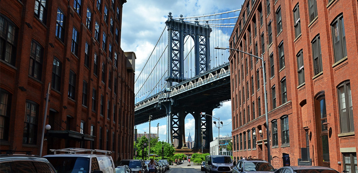
Brooklyn Boro
View MoreNew York City’s most populous borough, Brooklyn, is home to nearly 2.6 million residents. If Brooklyn were an independent city it would be the fourth largest city in the United States. While Brooklyn has become the epitome of ‘cool and hip’ in recent years, for those that were born here, raised families here and improved communities over the years, Brooklyn has never been ‘uncool’.