Greenpoint

Environmental protection issues set for action after meeting of CB1 committee

January 13, 2023 Lisa Bloodgood
Newtown Creek. Eagle photo by Paul Frangipane
Share this:

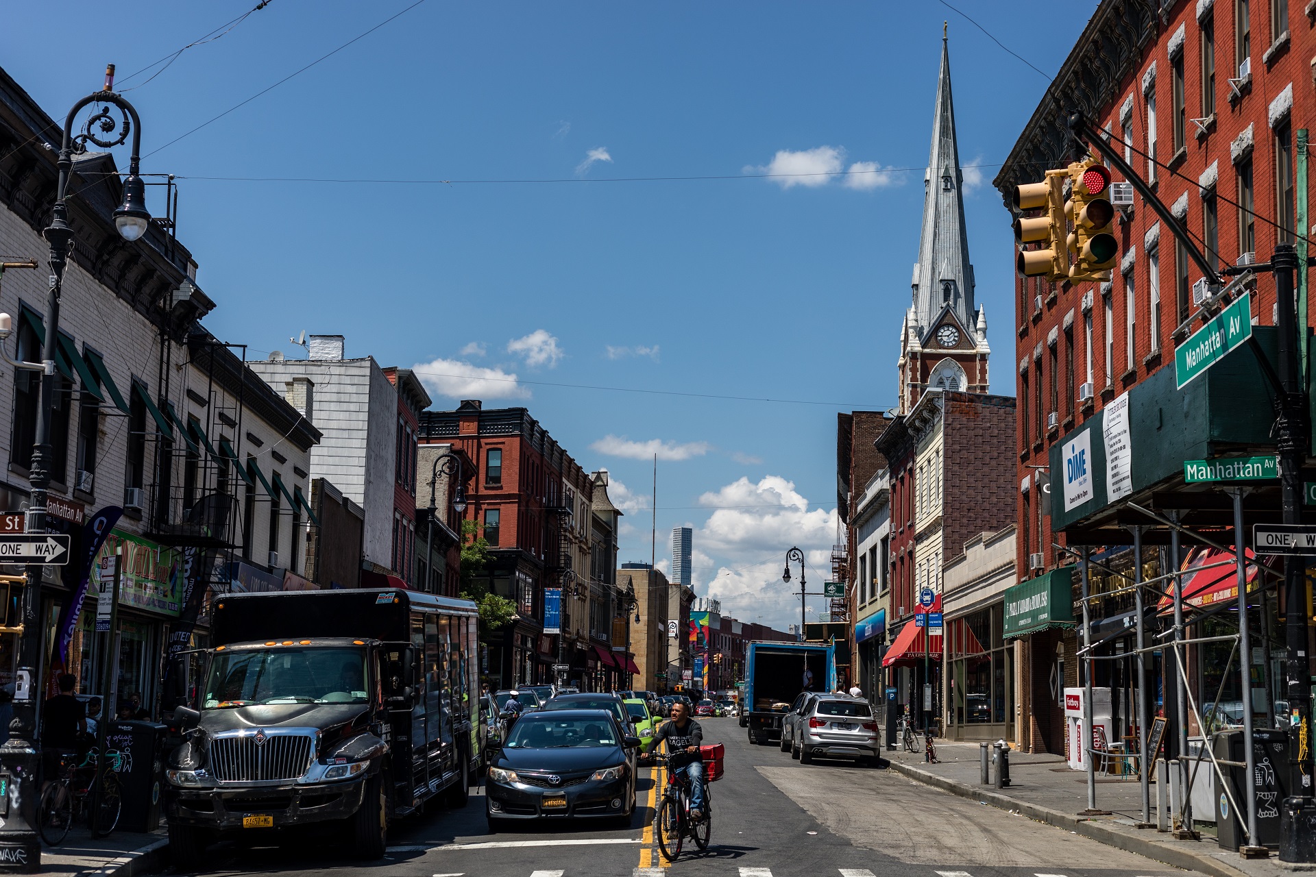
GREENPOINT — This past unseasonably warm Wednesday night there was a scheduled meeting of Brooklyn’s Community Board 1’s Environmental Protection Committee. There were two important items on the agenda. 

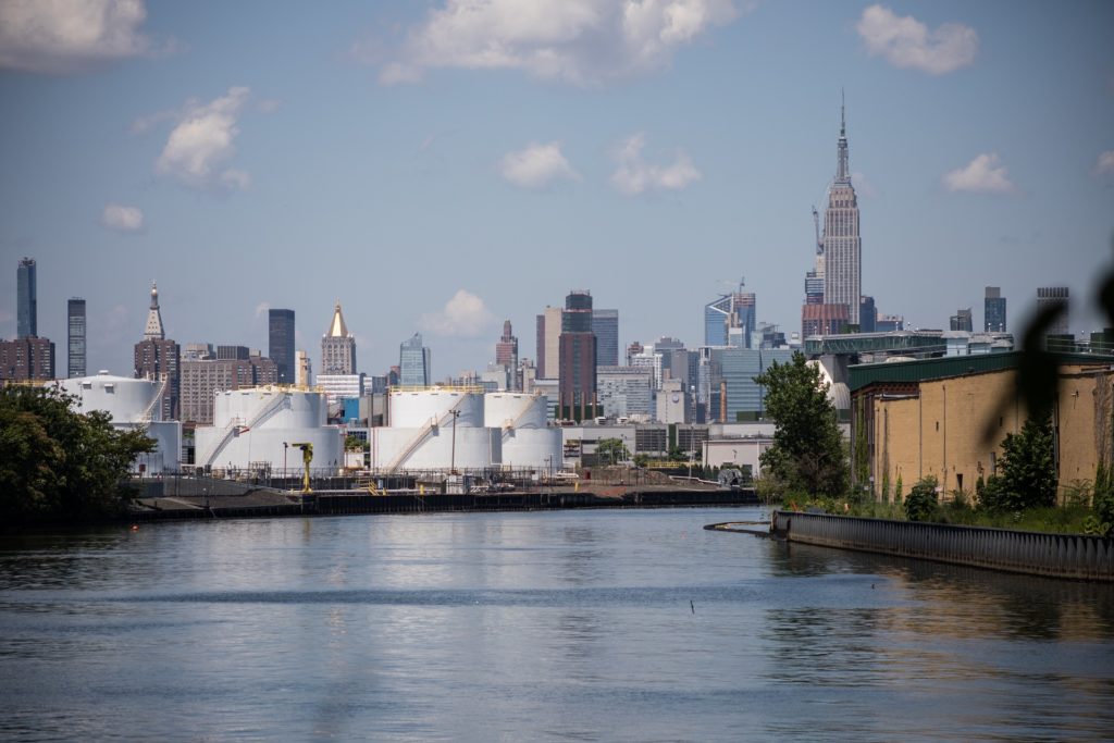
The first was the proposed remedy of the former Speedway service station on the corner of McGuinness Blvd. and Greenpoint Ave. in Greenpoint. The property has been registered in the State’s Brownfield Cleanup Program (SITE No. C224348). The planned use of the property is development for residential use. There was a presentation from NYS Department of Environmental Conservation (DEC) Project Manager Michael Sollecito with other members of the DEC present and contributing to the discussion as was a representative from the NYS Department of Health. The contamination is primarily from petroleum sources, including several volatiles (chemicals that turn into a vapor), all a result of automobile related activities on the site since the 1940s. More information can be found in the links above. 

The remedial action work plan (RAWP) includes the removal of;

Subscribe to our newsletters


  • 6 underground storage tanks 
  • the top 7 ft of soil across the entire site.
  • two “hot spot” locations one extending to depths of approximately 12 ft and a second to a depth of a little more than 30 ft.

The ensuing discussion with the community included concerns that nearby neighbors have been made aware of the clean up and the activities included therein, the immediate safety of pedestrians that must now navigate construction fencing installed around the property and how trucks will interact with the site – especially along McGuinness Blvd, concerns that onsite contamination may have moved off site to other adjacent areas, that the volatilization of the contaminants may impact local air quality without people’s knowledge, that once the proposed clean up is completed that all contaminants have been thoroughly removed, and that the indoor air quality of the new building will be safe for future residents.

The DEC was prepared to hear participants’ concerns and encouraged members of the community and the board alike to submit comments on the proposed plan. They also readily agreed to work with those that shared concern around street safety along McGuinness to ensure the site is secure and not putting anyone in unnecessary danger. NYC DOT was also present and offered to reach out to Highway Inspections & Quality Assurance (HIQA) to make sure that stipulations are followed properly for both the remediation, to start in the spring, and the future development project that is expected to begin once remediation is complete. 

Comments can be submitted to the site Project Manager Michael Sollecito at 625 Broadway, 12th Floor, Albany, NY, 12233-7016; via email at [email protected]; or by calling (518) 402-2198. All comments must be submitted by January 30, 2023.


BATTERY STORAGE ON BERRY ST

After this discussion several topics were addressed briefly, including a proposal for battery storage on Berry Street, a Hydropower electric transmission line to be constructed from Canada to NYC that Governor Hochul recently announced, and the unfortunate planned increase of sewage that will be redirected to Bushwick Inlet and Wallabout Channel as a result of the Newtown Creek Long Term Control Plan. 

The Committee Chair, Steve Chesler, then called a separate Hearing of the Committee to order. 


Newtown Creek at sunset. Photo by Ines Leong

NEWTOWN CREEK STORM SURGE BARRIER

The hearing was a focused discussion of last month’s presentation to the Board by the U.S. Army Corps of Engineers (USACE) Draft Integrated Feasibility Report and Tier 1 Environmental Impact Statement for the New York New Jersey Harbor & Tributaries Study, also known as the NY/NJ HATs. The study was initiated by Congress in 2016 in response to the catastrophic storm surge flooding caused by Superstorm Sandy in 2012. USACE is now recommending storm risk management Alternative Plan 3B for New York New Jersey Harbor & Tributaries. 

For North Brooklyn specifically this includes the proposed installation of a storm surge barrier across the mouth of Newtown Creek and various tie in structures on both sides of the Creek such as seawalls, floodwalls and levees along the shoreline from Box Street to Kent St, traversing Newtown Barge Park, WNYC Transmitter Park, and parts of Dupont Street, Kent Street and Greenpoint Avenue. The implications are far reaching – and at this stage, do appear to be rather bleak.

The USACE was not present for this hearing as it was intended to be a forum for the committee and community members to come together to discuss the proposed plan, ask questions, voice concerns, and brainstorm ideas to inform the Army Corps plans as to the details that they acknowledge they are unaware of within, and on behalf, of the impacted CB1 neighborhoods. The discussion in its entirety was recorded and can be found online. The goal was, and is, to hold a focused community conversation, synthesizing a nuanced sentiment in order to develop robust and useful comments on the draft proposal. 

The draft plans, as they are now proposed, include radical alterations to Greenpoint’s hard fought for waterfront parks, greatly affecting the people that live and work in these areas. The 3B alternative plan, as it now stands, will also have dramatic induced flooding impacts to significant portions of Williamsburg, as far south as the Navy Yard, and east into the Broadway triangle. Neighboring Long Island City, will see comparable seawalls, floodwalls and levees up to Annabel Basin. Newtown Creek, designated a Federal Superfund in 2010, will see its hydrology fundamentally altered leaving many unanswered questions as to how this plan may impact its long sought after clean up and the City’s Long Term Control Plans meant to manage its chronic and voluminous Combined Sewer Overflows into the waterway.   


NORTH BROOKLYN A MICROCOSM OF LARGER DISCUSSION

There were many things brought up in discussion that are worth including here, namely the lack of larger and more meaningful coordination with countless city initiatives and development plans, some already mentioned, but also including City Planning’s Waterfront Master Plans, waterfront rezonings and land use changes along our waterways. The lack of apparent agency participation in these plans from the Mayor’s office of Climate and Environmental Justice, the Department of Transportation (DOT), the Department of Buildings (DOB), the Department of Environmental Protection (DEP), Small Business Services (SBS) and many more. It was disheartening to many to learn that the Army Corps presentation to the Board last month took place because they were specifically invited – not because the City is supporting the coordination of communities in learning about this enormous, ecological and economic altering project. Make no mistake, this project will affect how our entire region functions – this fact was reflected in the microcosm of discussion in North Brooklyn.

A few important and positive points must also be underscored; Climate Change and its repercussions are real and it is gratifying to know that the federal government is taking serious steps to protect our vulnerable, low lying, and densely populated cities. The proposal is not yet set in stone – as proof that the USACE is listening to advocates on their plans; the initial proposal to build an enormous sea gate at the mouth of the New York New Jersey Harbor was scrapped a few years back because of its flaws and this is a second attempt at a protective proposal. There is still time to weigh in as individuals, groups, coalitions, community boards across the region to make sure that any proposal is done right, at large and small scales. While the City and State are too quiet and uncoordinated for comfort, the USACE is actively talking to anyone that will listen and soliciting feedback that they are committed to listen to. 

Wintry waters seem so serene when seen from the steps of the Newtown Creek Nature Walk. Photo by Lore Croghan

50 YEARS OF ENVIRONMENTAL AND SOCIAL JUSTICE BATTLES

North Brooklyn is in many ways organized and prepared, after 50 years of environmental and social justice battles, to understand how the proposal may impact it’s neighborhoods on the waterfront and upland on a street by street basis. It is also ready to point out where the proposal is seriously flawed, and what should be altered, amended, and included in order to make this needed plan as effective as it can be. Longtime and many newer residents have learned the hard way how to rally together as a frontline community for a better future. Even as sea levels inch ever higher, tidally influenced and grossly polluted groundwater swirls beneath homes, parks, and streets, and precipitation falls with greater intensity and volume in every progressive season. Yet another battle is in the works for North Brooklyners and Wednesday’s meeting, on an unseasonably warm 60 degree January evening, after preparing for yet another fossil fuel induced remediation, residents rolled up their sleeves and began the work of preparing for the coming decades long work. It’s not enough to hope all waterfront communities in the TriState area are doing the same. 

MORE ABOUT THE USACE STUDY

The NYNJHAT Study purpose is to determine the feasibility of constructing a technically feasible, environmentally acceptable, and economically justified project that will manage coastal storm risk while supporting the Study Area’s economic and community resilience. The Study Area includes 25 counties in New Jersey and New York, including Bergen, Passaic, Morris, Essex, Hudson, Union, Somerset, Middlesex, and Monmouth Counties in New Jersey; and Rensselaer, Albany, Columbia, Greene, Dutchess, Ulster, Putnam, Orange, Westchester, Rockland, Bronx, New York, Queens, Kings, Richmond, and Nassau Counties in New York. 

The need for the NYNJHAT Study derives from the significant and widespread damage to communities, infrastructure, and the economy caused by coastal storms.  Hurricane Sandy (2012) highlighted a need for a comprehensive and collaborative evaluation of coastal storm risk to communities along the Atlantic Coast.  The storm flooded or otherwise impacted homes, businesses, and critical infrastructure, and caused blackouts, school and businesses closures, gas shortages, and many deaths.  This need has been recognized by the President, the U.S. Congress, USACE, the states of New York and New Jersey, the City of New York, other municipal governments, federal and local agencies, non-governmental organizations, and the public at large.

Study Website: https://www.nan.usace.army.mil/NYNJHATS

New York District Social Media Accounts:

  • https://twitter.com/USACE_NY
  • https://www.facebook.com/USACE.NewYorkDistrict

 Please Submit Comments by March 7, 2023

The public is invited to submit comments electronically or in writing, by March 7, 2023, to:

Mr. Bryce W. Wisemiller, Project Manager

U.S. Army Corps of Engineers New York District

Jacob K. Javits Federal Building, Room 17-401

c/o PSC Mail Center

26 Federal Plaza

New York, New York 10278

[email protected]

OR 

Ms. Cheryl R. Alkemeyer, NEPA Lead

U.S. Army Corps of Engineers

New York District

Jacob K. Javits Federal Building, Room 17-420

c/o PSC Mail Center

26 Federal Plaza

New York, New York 10278

[email protected]


Leave a Comment


Leave a Comment