Brooklyn Boro

Army Corps of Engineers releases details of long-awaited Coastal Resiliency Plan

Construction on the $52 billion project is expected to begin in 2030 — but first it has to get through a public comment period and then be approved by a gauntlet of federal, state and local officials.

September 27, 2022 Samantha Maldonado, THE CITY
Share this:

Logo for THE CITYThis article was originally published on by THE CITY

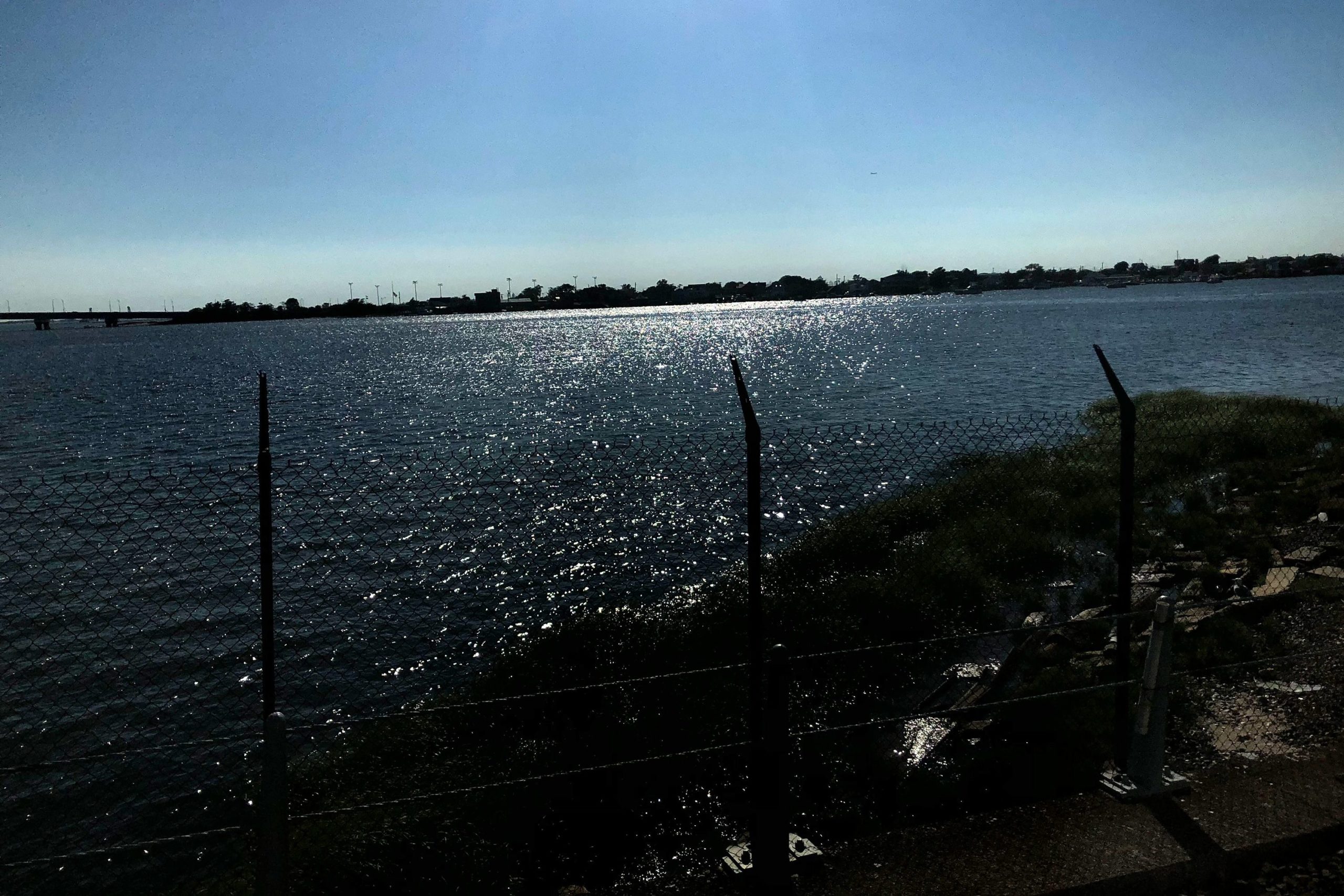
The federal government wants to build a massive system of storm surge gates and seawalls to protect the New York harbor region from flooding and has put forth a much-delayed plan that would remake coastal areas from upper Manhattan down to Jamaica Bay.

The U.S. Army Corps of Engineers over the weekend detailed the proposal for what would become the biggest infrastructure project in the area in a 569-page report.
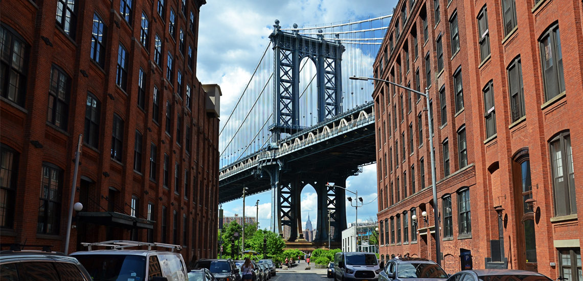
The Army Corps estimates construction on the $52 billion project would begin in 2030 and be complete by 2044. The project must be first approved by federal, state and local officials and funded before any of the work can start.

Subscribe to our newsletters

The public can comment on the project proposal through Jan. 6 — via email or snail mail — in order to inform the design, which is expected to be finalized in 2025.

While projects like Lower Manhattan Coastal Resiliency — which includes flood protection efforts from Battery Park City around to the Lower East Side — have advanced to various extents, much of southern Brooklyn, coastal Queens and parts of New Jersey have not seen similar efforts.

This initiative from the Army Corps is designed to protect those places — some of which were devastated after Superstorm Sandy — by laying the groundwork for new coastal resiliency infrastructure.

“This is going to set the tone for coastal protection and community viability for decades to come,” said Paul Gallay, co-director of the Resilient Coastal Communities Project at the Columbia Climate School and former president of Riverkeeper, the nonprofit dedicated to protecting the Hudson River.

The proposed project is not meant to mitigate flooding from sea level rise or normal rainfall, but coastal storms such as hurricanes and nor’easters. Still, the Army Corps report warns, “it will not totally eliminate flood risks” which remain “a threat to life and property.”

What’s in the plan

A map of where some of the resiliency measures might go. Notice that measures are planned for the Southern Brooklyn coastline as well as the Rockaway peninsula, Queens.
Courtesy of Army Corps of Engineers

After Sandy, the U.S. Army Corps began to examine regions in the south and eastern parts of the country most at risk of storm surges — which are predicted to become worse and more frequent because of climate change and its accompanying sea level rise.

This study, focused specifically on the New York and New Jersey region, had been underway since 2016 but paused in 2020 when the Trump administration cut funding. President Joe Biden’s administration restored funding last year.

The Army Corps had been considering several protection plans, including a six-mile-long sea wall, stretching from Sandy Hook, N.J. at the south of Staten Island to Breezy Point in the Rockaways.

But the Army Corps in August backed an option featuring 12 storm surge gates that would close during storms. They would be located in Jamaica Bay, Coney Island Creek, Newtown Creek, the Gowanus Canal, Sheepshead Bay, Gerritsen Creek, Flushing Creek and between New Jersey and Staten Island.

The plan incorporates smaller solutions too. Measures on land include floodwalls, levees, elevated promenades and raised roads to boost coastal protection, as well as nature-based solutions such as wetland restoration and “living shorelines,” which use plants and organic materials to manage erosion and buffer a coast.

Some specific proposals for neighborhoods include:

  • Sheet-pile reinforced dunes along Rockaway Beach and boardwalk
  • Floodwalls, seawalls and levees along Coney Island peninsula and along the Greenpoint/Long Island City shore
  • Elevated promenades near East River Esplanade and Coney Island Beach
  • Bulkheads, berms and elevated roads in Broad Channel
  • Seawalls at Carl Schurz Park on the Upper East Side and Hunters Point in Queens

An interactive map, created by the Army Corps, lets New Yorkers explore individual elements of the proposal. On the map, fuchsia indicates projects as part of “Alternative 3B,” the plan the Army Corps put forth.

Bryce Wisemiller, the Army Corps’ New York district project manager, told Brooklyn’s Community Board 13 in April that the plan is designed to phase in features in the short- and medium-term.

“Anything that’s put in place is going to be there pretty much permanently through the future so making it adaptable is very critical,” he said. “Even with all the dozens and dozens of projects that have been and are being put in place to try to address coastal storm risk, there’s still a lot of risk left in the study area and something needs to be done.”

A plan won’t be finalized til about 2024. Officials from New York city and state, as well as New Jersey, would have to approve it.

The state Department of Environmental Conservation and city Department of Environmental Protection indicated they would review the report.

“We as New Yorkers have to digest what this might mean. We’re in close coordination with New York City and New Jersey on this because we do, of course, share the harbor with them,” DEC Commissioner Basil Seggos told THE CITY in August. “Any efforts that can be made to increase resiliency in the harbor is an important effort, but we want to let the public process play out.”

Flooding in Sea Gate at the end of Coney Island, Brooklyn.
Photo by Ben Fractenberg/THE CITY

Could hurt shoreline communities

Members of environmental and community groups that have been following the Army Corps’ planning process have already raised questions about the impact and effectiveness of the overly mechanical measures proposed. They worry, for instance, that the gates could disrupt the tides and migratory patterns of marine life.

“I feel strongly that these measures will not help but rather hurt the ecology of Jamaica Bay more than benefit,” said Jeanne DuPont, executive director of the Rockaway Initiative for Sustainability and Equity, or RISE. “I think my biggest concern is that it would take more than 20 years to implement this and even longer to get them to follow through on the plan, making it difficult to take this seriously.”

Malcolm Bowman, an oceanography professor at Stony Brook University and founder of the  New York-New Jersey Storm Surge Working Group, expressed some concerns of the option before the recent report came out and pointed out that the plan does not protect certain places that include important transportation and port infrastructure, such as La Guardia Airport and Governors Island.

“Of those areas that would be protected, many shoreline communities and public spaces would be hidden behind 20- to 25-foot sea walls with a loss of sightlines and access to New York City’s iconic marine landscapes,” he wrote in an August email to THE CITY.

With the comment period now open, community and environmental groups are pushing for deep community involvement in how the plan ultimately takes shape.

“We have a lot more room to advocate for environmental justice communities and truly sustainable solutions than many of the other plans would have allowed for,” said Victoria Sanders, a research analyst at the New York City Environmental Justice Alliance.

“There is still a long road and a lot of unknowns between now and the release of that final plan, so we will see how things unfold in the coming months.”

THE CITY is an independent, nonprofit news outlet dedicated to hard-hitting reporting that serves the people of New York.


Leave a Comment


Leave a Comment