Brooklyn Boro

New online tool helps agencies know where flood waters are rising

Brooklyn College, NYU Tandon are both partners in FloodNet

September 2, 2022 Brooklyn Eagle Staff
Share this:

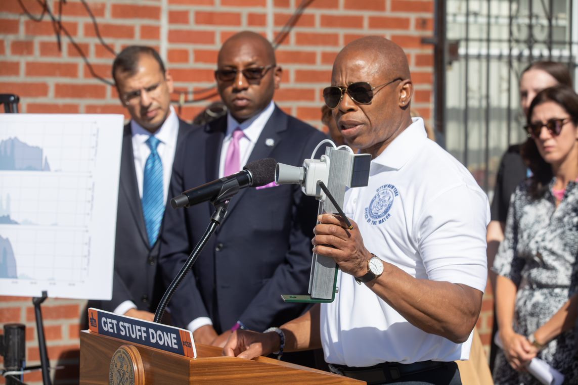
Extreme storms like Hurricanes Henri and Ida are becoming more and more common, and flooding is almost sure to wreak havoc on city streets.

That’s why a consortium of prestigious New York City institutions, FloodNet, is addressing these issues through a first-ever, free online tool that will help communities and government agencies to know where, when, and how quickly flood waters are rising.

The research team includes representatives of two Brooklyn institutions, Brett Branco of Brooklyn College and Elizabeth Henaff of NYU Tandon. Branco is also the executive director of the Science and Resilience Institute at Jamaica Bay.
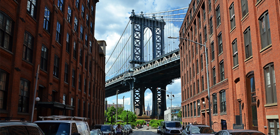
Subscribe to our newsletters

Other institutions that are participating include the NYC Mayor’s Office of Climate and Environmental Justice and the NYC Office of Technology & Innovation. It was developed by a team of researchers including Branco, as well as Andrea Silverman, Charlie Mydlarz, Tega Brain and the aforementioned Elizabeth Hénaff, all of NYU Tandon.

Launched on Friday — the one-year anniversary of the devastating and deadly flooding from Hurricane Ida — the new mobile-ready web dashboard presents real-time data collected by the expanding FloodNet system of low-cost, open-source sensors in flood-prone areas across the city.

Andrea Silverman, assistant professor at NYU Tandon School of Engineering. Courtesy of NYU Tandon

Currently, FloodNet comprises 30 ultrasonic devices deployed in Brooklyn, the Bronx, Manhattan, Queens, and Staten Island, from which readings are delivered to an interactive map and data visualization platform, allowing users to see the occurrence and depth of flood water at each sensor location.

The dashboard is free-to-use and makes it easy for communities and government agencies to know where, when and how quickly flood waters are rising, either from overburdened stormwater drains, or coastal seawater surges. The system was created in partnership with FieldKit, with funding from the New York State Empire State Development Corporation.

Brett Branco, associate professor of earth and environmental sciences at Brooklyn College, with a FloodNet sensor. Photo courtesy of Brooklyn College

“We’ve been working with both communities and government for years to better understand the impact that flooding has on the lives of NYC residents,” Branco said. “From the frequent nuisance flooding due to high tides around Jamaica Bay, to the catastrophic flooding across all five boroughs that occurs during coastal storms and extreme rainfall events, FloodNet and the data dashboard will help NYC find equitable solutions to these problems.”

“I’m a big believer in technology to run our city smarter,” Mayor Eric Adams said, adding that the sensors and dashboard, “Will provide the city with critical infrastructure in order to advise evacuations, travel bans, or road closures. “This is more than infrastructure; it’s how we are going to protect our city and people from rising sea levels and stronger storms.”


Leave a Comment


Leave a Comment