Comprehensive Waterfront Plan charts the course for the future of New York City
Latest edition of the plan advances a 10-year vision for an equitable, resilient, and healthy waterfront across the five boroughs.
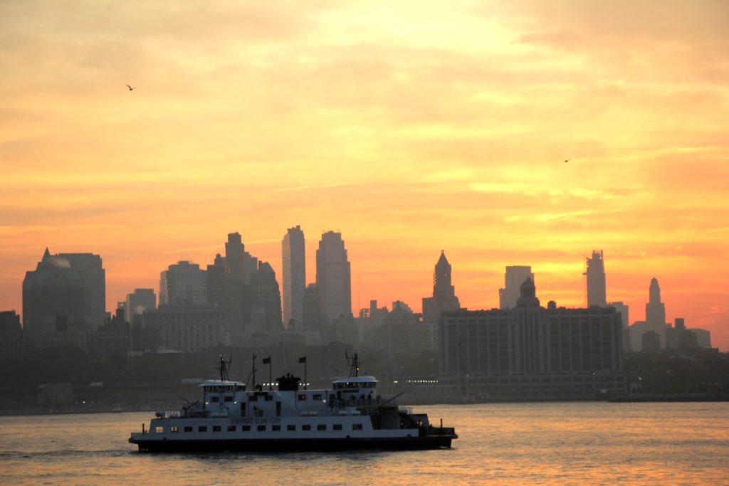
Department of City Planning (DCP) Director Anita Laremont announced on Sunday the release of the Comprehensive Waterfront Plan, a document that puts forth a broad, 10-year vision for New York City’s 520 miles of waterfront and potential strategies to provide more equitable access to all the waterfront has to offer — such as parks, jobs, and affordable and resilient places to live.
“The waterfront is one of New York City’s most valuable assets. With this latest edition of the Comprehensive Waterfront Plan, we’re looking to the next decade of challenges and opportunities on and along the water. From climate justice to well-paying jobs, ferries to parks, this plan looks at how we can further transform our shorelines and waterways to become even more accessible, resilient, and vibrant. This important document provides a road map for tackling the challenges along our waterfront,” said DCP Director Anita Laremont.
“Climate change will affect New York City in profound ways, and we must continue to be proactive in adapting to the climate change impacts that we cannot avoid. The 2021 Comprehensive Waterfront Plan introduces important strategies to adapt to climate change, including a coastal land use framework,” said Jainey Bavishi, Director of the Mayor’s Office of Climate Resiliency. “The Comprehensive Waterfront Plan also articulates a vision for climate justice, recognizing that climate change can exacerbate existing inequities. The Mayor’s Office of Climate Resiliency will build upon this vision in the forthcoming Climate Adaptation Roadmap, which we plan to release next year.”
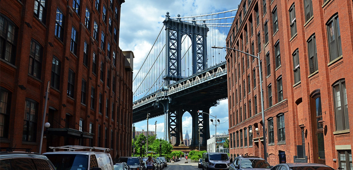
Brooklyn Boro
View MoreNew York City’s most populous borough, Brooklyn, is home to nearly 2.6 million residents. If Brooklyn were an independent city it would be the fourth largest city in the United States. While Brooklyn has become the epitome of ‘cool and hip’ in recent years, for those that were born here, raised families here and improved communities over the years, Brooklyn has never been ‘uncool’.