DiNapoli: Much of MTA infrastructure is vulnerable to flooding
Much of Brooklyn, a borough surrounded by water on three sides, is vulnerable to extreme weather events. According to official maps, Coney Island, Manhattan Beach, Sheepshead Bay, Gerritsen Beach, Floyd Bennett Field, Mill Basin and nearby areas are all in a “flood zone,” as are the areas around Red Hook, Gowanus and the Navy Yard.
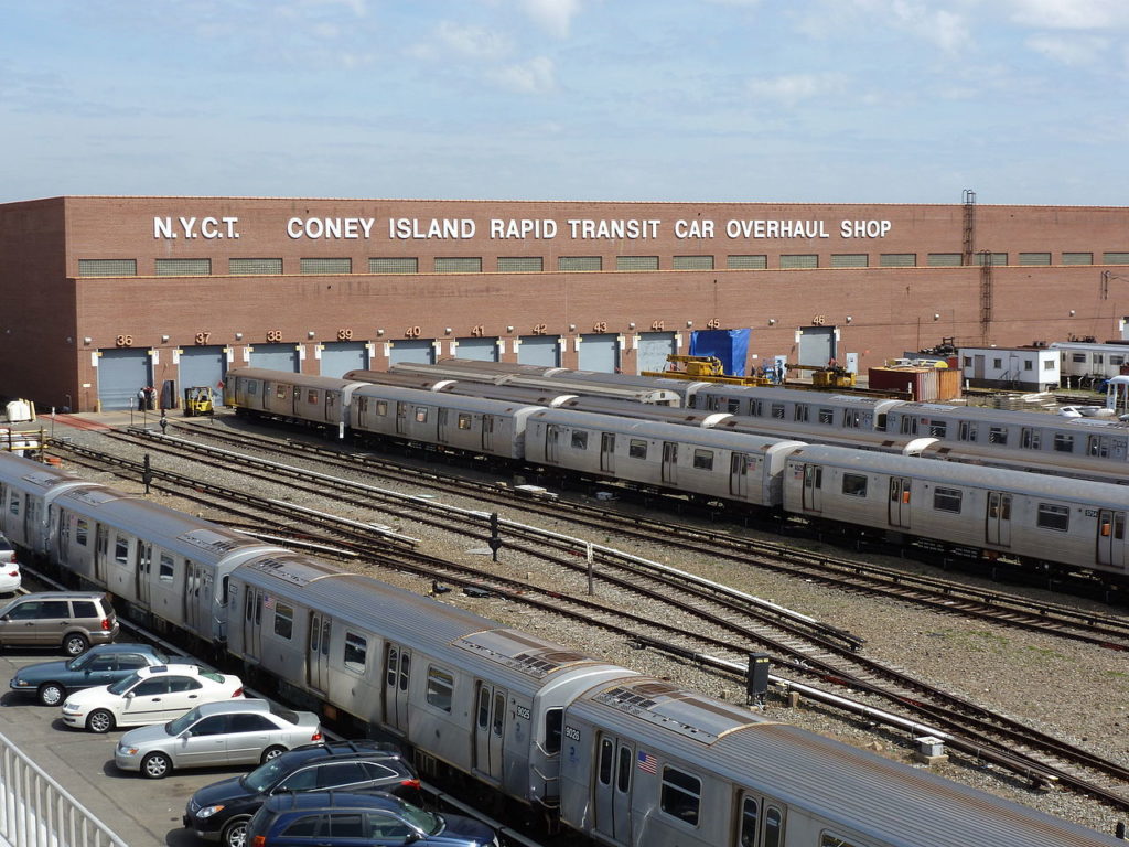
Parts of the borough, including its transit system, have suffered due to extreme climate events, not only during Superstorm Sandy but during the more recent Hurricane Ida this past September. During this storm, for example, Brooklyn’s Newkirk Avenue subway station, which is below ground but not covered by the street, was not only flooded, but tiles came off the walls.
According to a new report by New York State Comptroller Thomas DiNapoli, the MTA needs to publish a new assessment of its long-term capital needs that pays particular attention to the growing threat climate change poses to transit, and its most recent 20-year needs assessment shows many capital needs are overdue for attention.
Brooklyn Boro
View MoreNew York City’s most populous borough, Brooklyn, is home to nearly 2.6 million residents. If Brooklyn were an independent city it would be the fourth largest city in the United States. While Brooklyn has become the epitome of ‘cool and hip’ in recent years, for those that were born here, raised families here and improved communities over the years, Brooklyn has never been ‘uncool’.