Potential ‘bomb cyclone’ headed for New York City

A coastal storm headed for New York City could develop into a “bomb cyclone,” according to the National Weather Service.
A strong jet stream and area of low pressure will likely trigger a rapidly strengthening weather system along the East Coast, blasting New York City with heavy rain and strong winds from overnight Wednesday through early Thursday morning. Wind gusts could hit 40 mph, even after the rain subsides. Gale conditions are expected on the seas.
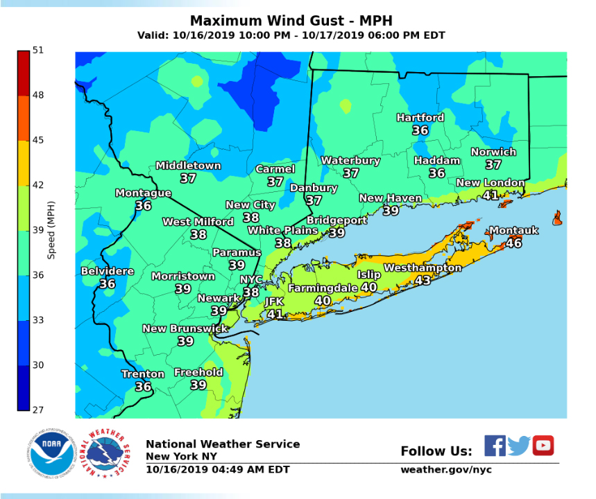
Emergency Management issued a wind advisory for New York City until 6 p.m. on Wednesday, and advised residents to use caution when walking, biking or driving high profile vehicles.
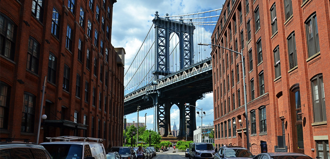
Brooklyn Boro
View MoreNew York City’s most populous borough, Brooklyn, is home to nearly 2.6 million residents. If Brooklyn were an independent city it would be the fourth largest city in the United States. While Brooklyn has become the epitome of ‘cool and hip’ in recent years, for those that were born here, raised families here and improved communities over the years, Brooklyn has never been ‘uncool’.