Eastern Brooklyn

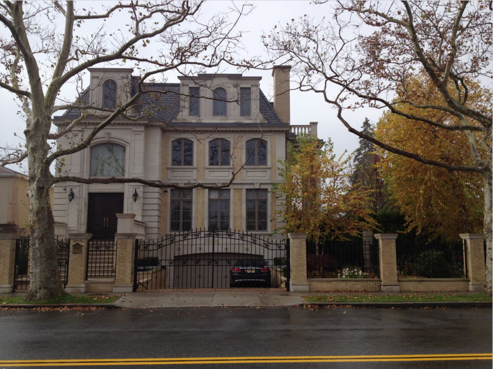
See six spectacular shoreline spots in Gerritsen Beach

Eye on Real Estate: Sandy-struck neighborhood is on the rebound
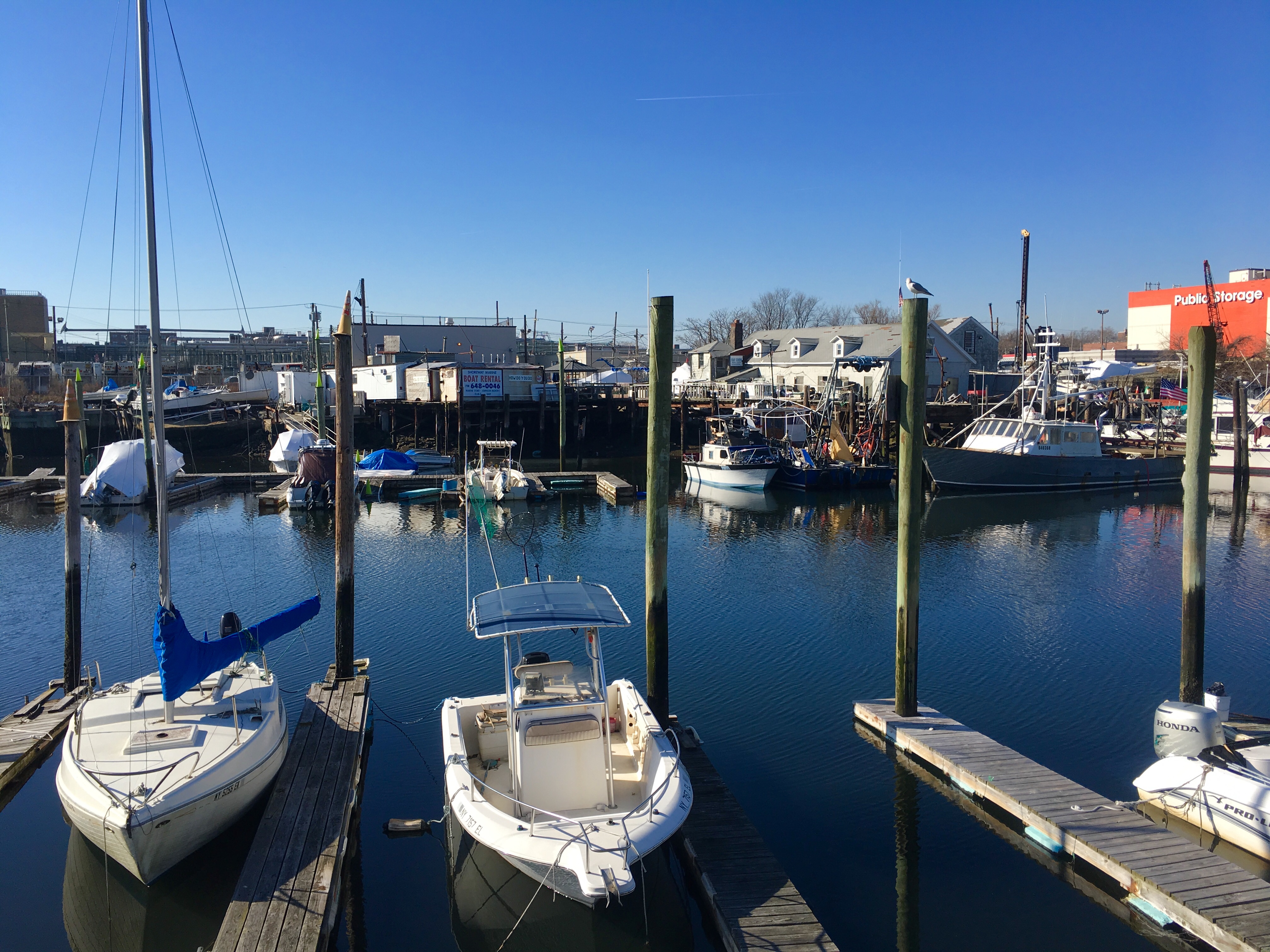
February 19, 2019 By Lore Croghan Brooklyn Daily Eagle
Share this:

It looks like a New England fishing village.

That’s what people sometimes say when they describe Gerritsen Beach to New York newcomers.

Actually, it’s much cooler than that. It’s a unique piece of Brooklyn.

Subscribe to our newsletters

The neighborhood is situated on a peninsula, which gives it the feel of a snug, self-contained destination. There are docks and boats in marinas, and residents’ backyards, on waterways called Shell Bank Creek and Plumb Beach Channel.

The end of Garland Court near the intersection of Allen Avenue in Gerritsen Beach affords an excellent view of Shell Bank Creek.

Also, there’s Shell Bank Canal, which bisects the peninsula. Gerritsen Beach’s developer, Realty Associates, created this waterway in the 1920s while constructing the 1,800 or so homes that comprise the neighborhood.

Nearly all the houses are winterized bungalows with immense charm. The streets on the south side of the canal are especially narrow — and therefore especially picturesque.

There’s ice near the shoreline of Shell Bank Creek, seen here from the end of Channel Avenue in Gerritsen Beach.

Recovery after Superstorm Sandy

The neighborhood was hugely harmed by Superstorm Sandy in October 2012 — but it is beautiful again thanks to residents’ grit and perseverance.

Sandy socked Gerritsen Beach with a 10-foot storm surge. It flooded the basements and first floors of the cherished houses. The aftermath was nightmarish. The volunteer-operated Gerritsen Beach Fire Department, Gerritsen Beach Cares and the Gerritsen Beach Long Term Recovery Project did heroic work in the hurricane-stricken neighborhood.

Homeowners have worked mightily to renovate and rebuild. Some of the residents have constructed tall foundations for their houses to comply with insurance regulations and protect their homes in the event of future floods. The city-administered, federally funded Build It Back program and the state’s Project UPLIFT program have been helpful to them.

Shell Bank Creek’s water is like a mirror, reflecting the boats seen from the dead-end of Hazel Court in Gerritsen Beach.

The B31 bus is your new best friend

If you’re heading there from north or central Brooklyn, you need a certain amount of fortitude to travel to Gerritsen Beach on public transit. It’s way down at the end of the B31 bus route, which you hop onto at the B and Q trains’ Kings Highway Station.

When you get an eyeful of Gerritsen Beach’s waterfront vistas, you’ll be glad you made the trek.

There are scores of different routes you can take for an eye-pleasing walk through the neighborhood.
The one we devised seeks the shoreline at every turn.

Because of the way the streets are laid out, there’s a lot of zigzagging involved to get to places where the water is visible.

It’s helpful to keep a map of Gerritsen Beach open on your phone.

Here are six publicly accessible waterfront spots for you to see. Zip up your heaviest winter coat and let’s go.

The creek seen from Garland Court

Start in the part of the neighborhood that’s north of that bisecting waterway, the Shell Bank Canal. Take the bus to the stop on the corner of Gerritsen and Bijou avenues and walk west.

You’ll find Garland Court, which has a wide-open view of Shell Bank Creek just past the intersection of Allen Avenue.

Though it’s winter, boats are docked here, as they are all around the peninsula. On the horizon, there are beautiful shoreline houses that are part of the neighborhood.

Here’s Gerritsen Beach’s Shell Bank Canal, seen from one of the only spots that’s accessible to the public.

The end of Channel Avenue

Next, with a little bobbing and weaving, you’ll find Channel Avenue, which runs parallel to Allen Avenue.

Where Channel Avenue dead-ends, you’ll get a fresh glimpse of the Shell Bank Creek shoreline. There were lots of boats and a bit of ice on the water the day we did our strolling.

If you swivel your head in the right direction, you wind up with an eyeful of a self-storage facility that’s on the opposite shore on Sheepshead Bay’s Knapp Street.

The end of Hazel Court

There’s a third great view of the creek on a dead-end block of Hazel Court, which you find by walking down Devon Avenue.

This vista includes Tamaqua Marina, whose name you can see painted on the roof of a building on the property.

Hello there, Shell Bank Creek. This is what the waterway looks like from the end of Florence Avenue.

The end of Florence Avenue

Fourth, you should follow Florence Avenue to its end for another look at Shell Bank Creek. You’re still on the north side of the canal at this point.

This is the last glimpse we’re going to give you of the creek, though there are other dead-ends you can duck into for additional peeks.

At dusk, this dead-end sign looks so poetic. That’s Plumb Beach Channel in the background.

The canal seen from Fane Court

Fifth, let’s find Shell Bank Canal. Its north shoreline is there, behind the backs of the houses on Gotham Avenue.

The homes stand in a nearly unbroken line — but a street called Fane Court intersects Gotham Avenue and runs to the water’s edge. This is where you can get a look at the canal.

If you’re strolling on a sunny day, you’ll see such lovely light on the water.

This is Plumb Beach Channel seen from Lois Avenue in Gerritsen Beach.

Plumb Beach Channel seen from Lois Avenue

The sixth great spot for shoreline gazing is Lois Avenue.

Too bad they didn’t name it Lois Lane. Yes, that’s a newspaper reporters’ joke.

Lois Avenue is down at the tail end of Gerritsen Beach. It’s peaceful on a wintry afternoon.

The shoreline you can see from this avenue is that of Plumb Beach Channel. There’s a shingle-covered house perched on the edge of it that looks so lovable.

Follow Eye on Real Estate on Twitter.


Leave a Comment


Leave a Comment