Coney Island

Scientist: Transit and roads must adjust to grim realities of climate change

February 26, 2013 By Raanan Geberer Brooklyn Daily Eagle
seawall damage 2.JPG
Share this:

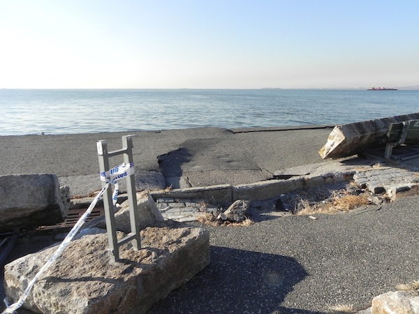
Standing in front of a flood map that showed Coney Island, Red Hook and Sunset Park as danger zones, scientist Cynthia Rosenzweig told a gathering of transportation professionals on Tuesday that the sea level is rising, storms are increasing, and our mass transit and highway systems had better be prepared.

Rosenzweig, senior research scientist at the Goddard Institue for Space Studies at Columbia University, was speaking at the New York Metropolitan Transporation Council’s annual meeting at the U.S. Custom House in Lower Manhattan. She and other speakers displayed table after table showing that climate change, far from being a theory, is a reality.

She began by giving us the bad news. Among the signs that things are changing are heat waves, heavy rainfall, Nor’easters and hurricanes.
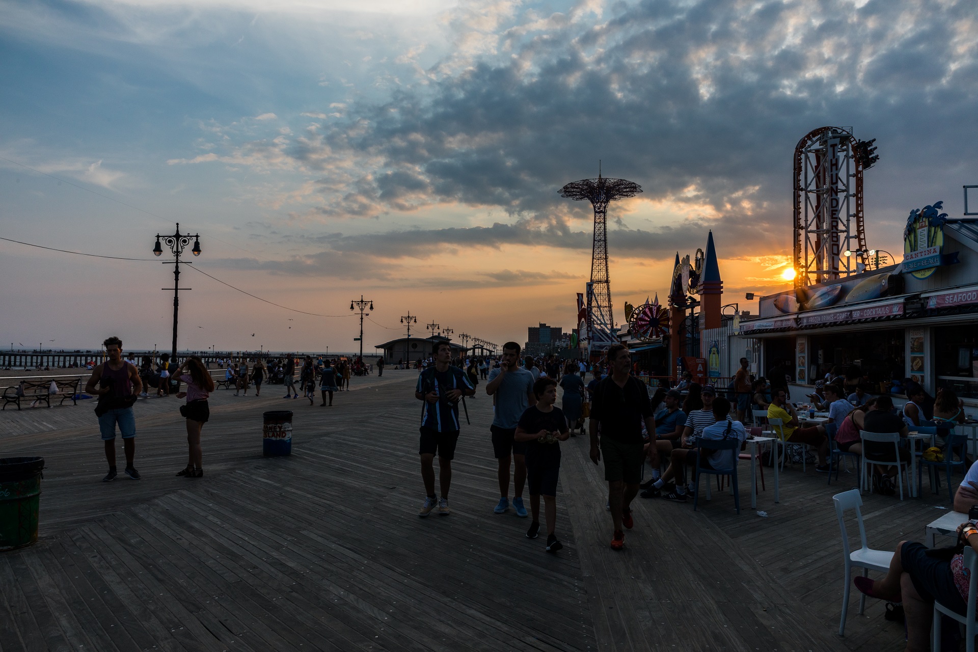
Subscribe to our newsletters

A rainfall in Aug. 8, 2007, for example, gave us one inch of rain per hour for as long as it lasted, while another one on Aug. 14, 2011, produced 8 inches of rain at JFK. The degree of flash flooding seen that year, she said, was “way above” the previous record for the area, set in 1990.

As far as Nor’easters are concerned, she said, there were three back-to-back storms in February and March of 2010. As far as transit was concerned, they flooded tracks, shorted-out signals, and downed utility wires.

The effects of Hurricane Sandy are well known: Power outages, surface rail lines disrupted, flooding of subway tunnels. “Hurricane Irene [the previous year] is also important, because it proved that hurricanes can also strike inland,” she said. Irene did its worst damage in Upstate New York

Going forward, Rosenzweig gave some predictions. Last year, she said, there were 14 days during the year where the temperature was over 90 degrees F. By 2020, that number is expected to rise to 23. By 2050, it will reach 29, she said.

Also, the sea level, which rose one foot during the past century, will continue to rise. By 2020, not only Coney Island, but also Gravesend and Bath Beach, will be in danger in the event of severe storms, according to the map she displayed.

The impression she gave is that if you live into the 2050s, you’d better buy several raincoats, forget about going to Brighton Beach, and think about taking your vacation in Greenland.

Then, Rosenzweig talked about how transit-related agencies and entities can prepare for these changing times.

For one, she said, future rail lines and highways should not be located near the shoreline. “California has already moved several sections of Route 1 inland,” she said.

This writer wondered whether the day might come when Brooklyn’s Belt Parkway might similarly have to be moved inland. One of the photos flashed onscreen showed the damage to Shore Road, a short distance inland from the Belt Parkway in Bay Ridge, after Sandy.

Another strategy she recommended was, in the event of storm predictions, to move stored trains “upland.” In other words, train cars out of service should be moved before a storm to the Inwood or Van Cortlandt yards, not the Coney Island yard.

She also recommended that highway and mass transit agencies install more pumps, clean out catch drains (a sudden rainfall in Queens resulted in flooding several years ago precisely because street drains were clogged), and put harder, non-permeable surfaces under roadway and rail tracks.

Rosenzweig ended by praising the region’s weather service. “Before Sandy, they told us exactly what was going to happen,” she said.

The New York Metropolitan Transit Planning Council, formed in 2008-10, is a regional council of government agencies in New York City, Long Island,Westchester and the lower Hudson Valley.


Leave a Comment


Leave a Comment