‘Brooklyn underwater’ to deal with threat to coastline

September 12, 2012 By Raanan Geberer Brooklyn Daily Eagle
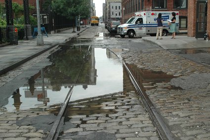
DSC_0008_Flooded_Plymouth_Street.jpg
Share this:

When one national political candidate, who will be nameless, joked about his opponent being overly concerned with “rising sea levels,” his supporters laughed.

But chances are that the subject isn’t a joke in Coney Island, Sea Gate, Manhattan Beach, Red Hook or Gowanus. Scientists say that if the number of storms keep increasing, the shoreline of Coney could be under water by 2080.

Coney, parts of Gravesend and Sheepshead Bay, the Sunset Park waterfront, Red Hook, the Jamaica Bay shoreline, the Navy Yard area, and the areas around the Gowanus Canal and Newtown Creek will all be at risk during a major storm, according to the city’s Office of Emergency Management (OEM).  

Subscribe to our newsletters

Indeed, the city evacuated these areas last year during Hurricane Irene, although thankfully, the damage turned out to be minimal.

To address this issue, Kingsborough Community College and New York City College of Technology (City Tech) are co-sponsoring a conference called “Brooklyn Underwater: Confronting a Landscape of Risk” at Kingsborough tomorrow evening at 5 p.m.

Panelists will include faculty from both colleges as well as special guests Klaus Jacob, geophysicist at Columbia University, and Michael Marella, director of waterfront and open space planing at the city Department of City Planning.

It will be accompanied by an art and history exhibit, “Brooklyn’s Waterfront: Past, Present and Future,” which will run until Sept. 19. The exhibit will also include maps of the borough from FEMA, the Nature Conservancy and elsewhere, as well as historical maps from the Brooklyn Historical Society.

Libby Garland, professor of history at Kingsborough, stressed that global warming will effect not only the Coney Island peninsula and nearby areas.

“All low-lying coastal areas will be affected,” she said, “including Red Hook, the area around the harbor, and the Gowanus Canal and Newtown Creek.”

Nineteenth-century maps of Brooklyn show a radically different coastline near Coney Island, with Sheepshead Bay (the bay, not the neighborhood) much larger that it is today.

Much of Canarsie, Mill Basin and Flatlands consisted of swampland and islands, and the Red Hook waterfront was further inland than it is now.

“These areas that were filled in with landfill during the 19th and early 20th centuries will be at risk in the event of major storms,” Garland said.

Photographer and City Tech design professor Robin Michals, an exhibitor in the art show, adds, “If the Gowanus and the Newtown Creek flood before the Superfund cleanups are done, some really nasty stuff will go back into those neighborhoods.”

Michals, whose work is being displayed at the art exhibit, is working on a photo book, “Castles Made of Sand: New York Harbor Before the Flood.”

“My previous work was about brownfields [polluted former industrial sites],” she says. “and as I began to work on that issue, I realized that the big issue is climate change.

“The way to make that issue most visible to New Yorkers is sea level rise. If we were in the Midwest, it would be drought.”

Michals, a Park Slope resident, does have some hope, however. The Dutch, she says, have done a lot of work with flood control in their country, much of which is below sea level.

She also admires Mayor Bloomberg’s PlaNYC, with its goal of planting a million trees (some of which would be a barrier against erosion), although she feels that both the Republican and Democratic parties aren’t paying enough attention to the issue of climate change.

Interestingly, although climate change, according to most scientists, is a reality, and the frequency of storms has been increasing, beach erosion has been a problem in Coney Island for as long as records have been kept.

The city had to dump new sand on Coney Island to shore up the beach as early as 1922-23, and the Army Corps of Engineers had to pump three million cubic feet of sand onto the beach in 1994-95 after a series of violent storm.

And in 1888, the tony Brighton Beach Hotel had to be moved inland with the aid of six railroad locomotives because the seawater steadily advanced into its foundation.

For more information on the discussion and art exhibit, go to bwexhibit.commons.gc.cuny.edu.


Leave a Comment


Leave a Comment